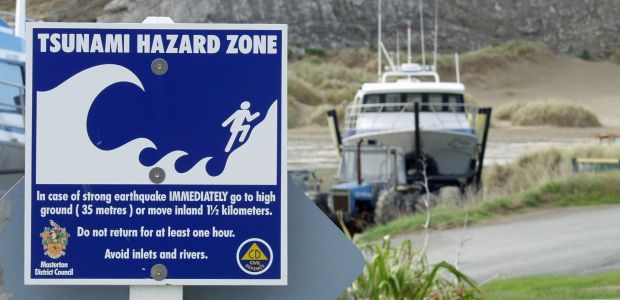
Large earthquakes in Japan, Indonesia and in the South Pacific in recent years, and the devastating tsunamis that followed, have provided vital information to geologists working on tsunami hazards around New Zealand.
Knowledge that plate boundaries may be capable of producing much bigger earthquakes than previously believed, has been used in the latest hazard modelling to show that large locally produced tsunamis are a bigger risk to eastern coasts of the North Island, and the south-west corner of the South Island than previously thought.
This new information is contained in the ‘Review of Tsunami Hazard in New Zealand (2013 Update)’, produced by GNS Science for the Ministry for Civil Defence and Emergency Management. The report’s compiler William Power says historical evidence shows that dangerous local or regional tsunamis have occurred in New Zealand every 40 to 50 years on average. And while tsunamis recorded around New Zealand in the last 200 years have reached 10 metres in height, overseas experience and geological evidence of palaeo-tsunamis around the New Zealand coast shows that wave heights of 30 metres are possible.
Graham Leonard, a senior scientist in GNS Science’s Risk and Society Department, says a long or strong earthquake is a sign of big earthquake capable of producing a tsunami. He says to think ‘tsunami’ if you feel an earthquake that lasts “longer than a minute or a strong earthquake in which it’s hard to stand up. It doesn’t have to be both actually. Hard to stand up means it was big nearby, while long means it was big a bit further away. In either case don’t wait for a warning – use the earthquake as your warning and evacuate immediately to high ground or inland.” Graham Leonard also points out that the first tsunami wave to hit may not be the largest wave in a sequence which may last many hours.

